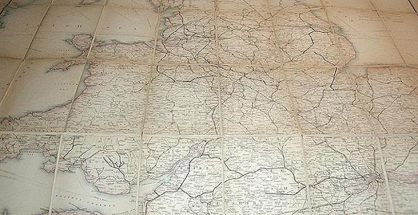
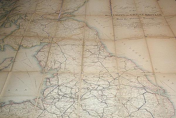
Cheffins's Map of the Railways in Great Britain: From the Ordnance Surveys
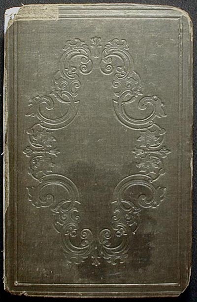
London: Chas. F. Cheffins, 1848. Map. "Published by Chas. F. Cheffins, 9 Southampton Buildings, Holborn. And W.S. Orr & Co. Paternoster Row. Also by Wareing Webb, Castle Street, Liverpool." 1 map: handcolored engraved map; dissected and mounted on linen; 126 x 96 cm., folded to 20 x 13 cm. Scale: 10 miles to 1 inch. Front cover is blind-stamped cloth board; back cover is stiffened marbled paper. Small circular label for William Lipton Ltd. on back cover. In Good Condition: linen has separated along several folds, but no sections are entirely detached; some old repairs on the back; clean and bright. A very scarce mid-19th-century railway map. Good. Item #001147
Price: $225.00